 vesseltracker.com
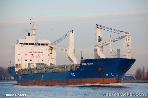
Vessel LADY D IMO: 9349289, MMSI: 273293160 General Cargo Ship
UTC, 48.98952, -5.54643, course: 237, speed: 10.1
UTC, 48.87833, -5.80500, course: -1, speed: 9
2026-02-20 16:05:10 UTC, 48.56060, -6.05527, course: 215, speed: 8
Live AIS position:
UTC. 23 nm W of Ile D’Ouessant),
updated 2026-02-20 16:05:10 UTC.
Find the position of the vessel LADY D on the map. The latter are known coordinates and path.
marine traffic ship tracker show on live map
The current position of vessel LADY D is 48.56060 lat / -6.05527 lng. Updated: 2026-02-20 16:05:10 UTCCurrently sailing under the flag of Russia
LADY D built in 2006 year
Deadweight:
12717 tDetails:
Last coordinates of the vessel:
UTC, 49.14167, -5.13833, course: -1, speed: 10UTC, 48.98952, -5.54643, course: 237, speed: 10.1
UTC, 48.87833, -5.80500, course: -1, speed: 9
2026-02-20 16:05:10 UTC, 48.56060, -6.05527, course: 215, speed: 8